Where to go birding in Cumbria: 38 places, on a map
All 38 sites. Filter by area, habitat or the bird you want, sort by distance from where you're standing, and tap a pin for parking, toilets and tide notes.
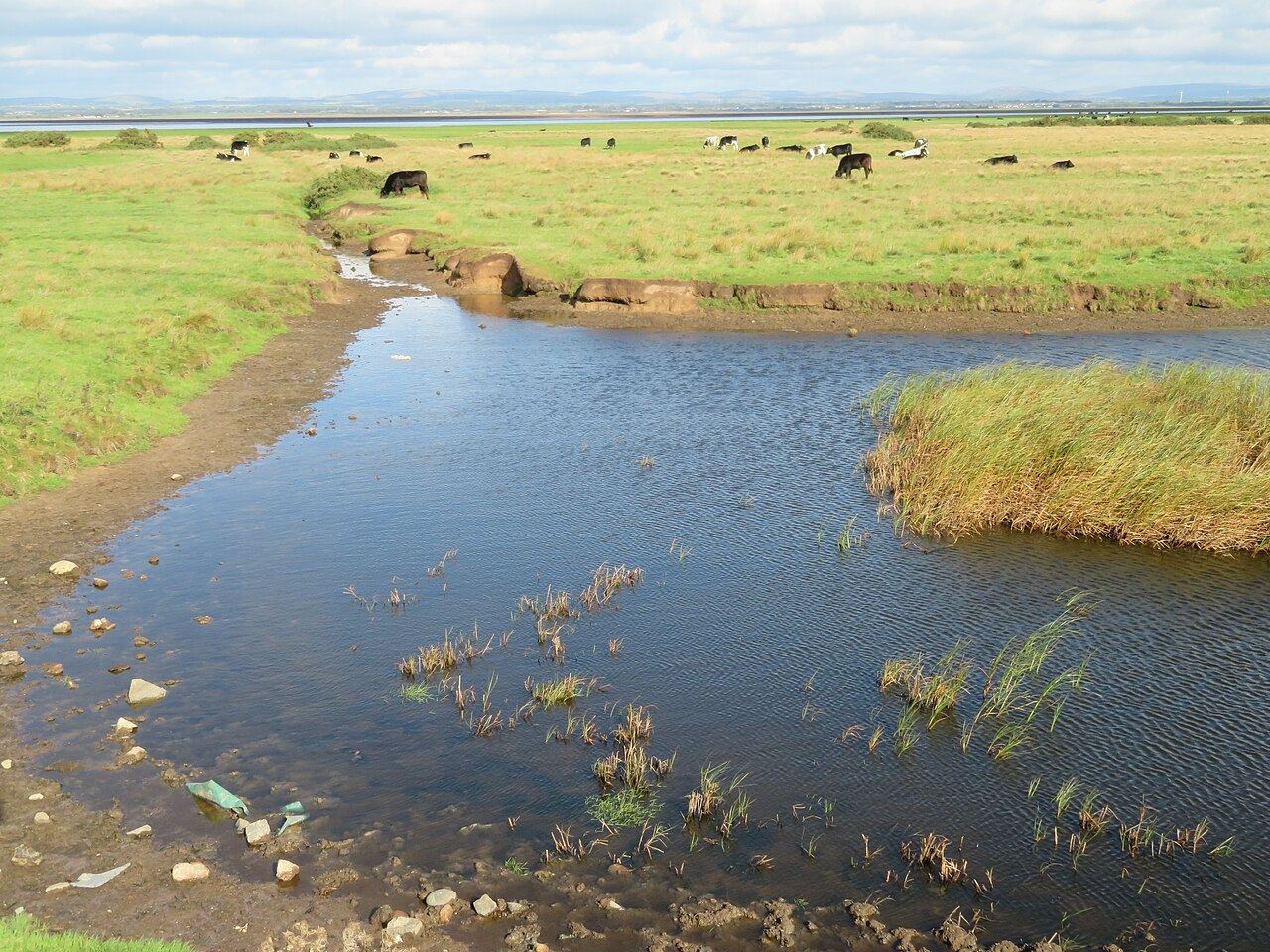
My pick for a first Solway trip: three hides, a flat 800 metre track, proper toilets, and fields heaving with wigeon and geese all winter. Ospreys nested here in 2026, an RSPB first for England.
Tip. Scan the saltmarsh from the roadside around high tide, and check the tide table first because the coast road floods on the biggest tides.
The practical bits
Access
Main entrance at North Plain Farm, 1.5 miles west of Bowness-on-Solway on the coast road. Reserve open 24 hours; visitor centre 10am to 3pm
Parking
Free. 25 spaces including 4 Blue Badge spaces at the visitor centre, plus Blue Badge spaces near the hide
Hides
Three hides, two overlooking the scrapes; one reached by a half mile (800 m) flat surfaced track from the car park
Toilets
Yes, single ground level accessible toilet with baby changing, open daily
Cafe
No cafe; self-service hot drinks in the visitor centre, picnic area opposite
Dogs
Welcome on public rights of way only, under close control; assistance dogs throughout
Step-free
Yes, 800 m flat surfaced track to the hide, suitable for wheelchairs and pushchairs
Cost
Free
Best time
October to March for wildfowl and geese; April to June for breeding waders
Tides
Watch the saltmarsh around high tide; some roads can flood on the highest tides
Checked Tuesday 29 September 2026 against this page.
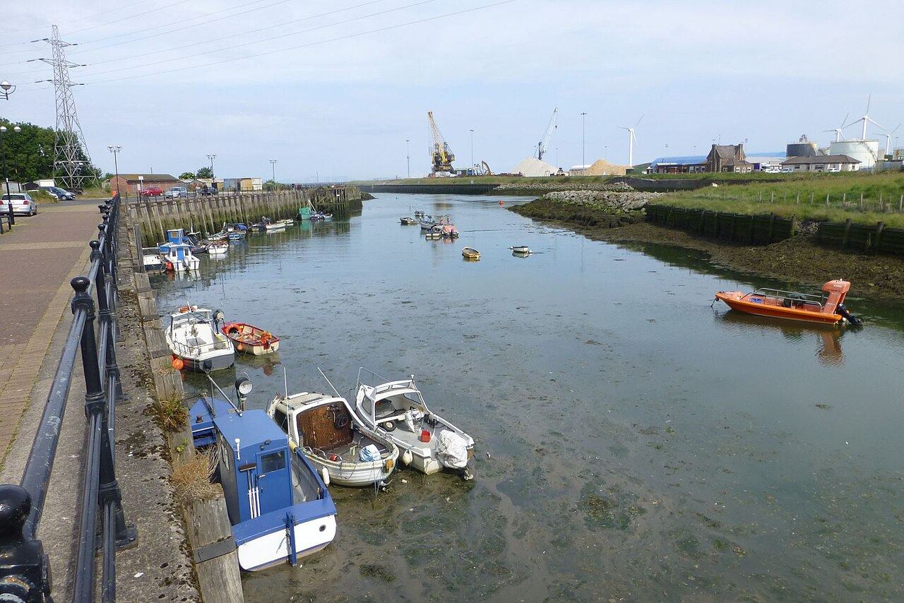
Roadside birding at the end of Hadrian's Wall Path: waders on the falling tide and the Cumbrian Solway's best spot for wintering greenshank at Port Carlisle. May brings a skua passage that gets birders twitchy.
Tip. Arrive an hour or two before high tide and stay as the water drops; the small wall between Port Carlisle harbour and the caravan park lay-by is where waders feed first, and no toilets or cafe were verified in the village.
The practical bits
Access
Roadside viewing from the village and from the pull-in by the railings east of Bowness; Port Carlisle harbour is on the same coast road to the east
Parking
Roadside lay-bys and pull-ins; verge parking at the CWT reserve entrance (do not block the farm track)
Hides
None on the shore; the CWT reserve has a 1.4 km waymarked circular route with boardwalks and steps
Dogs
On a lead on the CWT reserve
Step-free
Roadside viewing is level; the CWT reserve has some wheelchair-suitable sections but also steps
Cost
Free (donations welcome at the CWT reserve)
Best time
September to April for waders and geese; May for skuas
Tides
Best either side of high tide; roads can flood on the highest tides
Checked Tuesday 29 September 2026 against this page.
Where the Solway's whooper swans concentrate, plus a big high tide wader roost, watched from lay-bys on the coast road round the Cardurnock peninsula. No facilities, wide sands, bring a telescope.
Tip. Come around high tide with a telescope, and check the tide table because the highest tides put the coast road under water.
The practical bits
Access
Roadside viewing from lay-bys on the Bowness to Anthorn coast road; the Anthorn transmitter station itself is not open to the public
Parking
Lay-bys along the coast road
Hides
None
Step-free
Roadside viewing is level
Cost
Free
Best time
October to March around high tide
Tides
Best around high tide; roads may flood on the highest tides
Checked Tuesday 29 September 2026 against this page.
A shingle spit north of Skinburness that Cumbria Bird Club rates for spring and autumn migrants, with whooper swans and sea duck in winter and snow buntings in November. Not one for the buggy.
Tip. Spring and autumn mornings for grounded migrants; the marsh floods at high tide, so read the warning signs and park in Skinburness village or Silloth.
The practical bits
Access
Park in Skinburness village and follow the Cumbria Coastal Path onto the marsh and the point; also an 8.5 km (5 mile) circular walk from the Solway Coast Discovery Centre in Silloth
Parking
Skinburness village or Silloth
Hides
None
Toilets
Listed as available by Solway Coast National Landscape; location not stated
Step-free
No; shingle, sand and saltmarsh paths
Cost
Free
Best time
Spring and autumn for migrants; winter for wildfowl and waders
Tides
Take care at high tide and watch the warning signs; the marsh floods
Checked Tuesday 29 September 2026 against this page.
The barnacle goose spectacle, mostly doable from the car: several thousand feed east of Drumburgh from midwinter. If they don't show, the marsh path reaches the monument where Edward I died in 1307.
Tip. Go two hours before high tide, watch from the raised banks on the Carlisle to Bowness road or the landward edge of the marsh because parts get cut off, and expect the geese on the Cumbrian side mainly from midwinter until late April.
The practical bits
Access
Public footpath from Burgh by Sands across the marsh to the Edward I monument; roadside viewing along the Carlisle to Bowness road, including the raised banks at Drumburgh
Parking
Roadside lay-bys; free parking in Burgh by Sands village
Hides
None
Cafe
Pub in Burgh by Sands
Step-free
Roadside viewing is level; the marsh path is grass and can be wet
Cost
Free
Best time
October to April around high tide
Tides
The marsh floods on high tides and some areas can be cut off; watch the water
Checked Tuesday 29 September 2026 against this page.
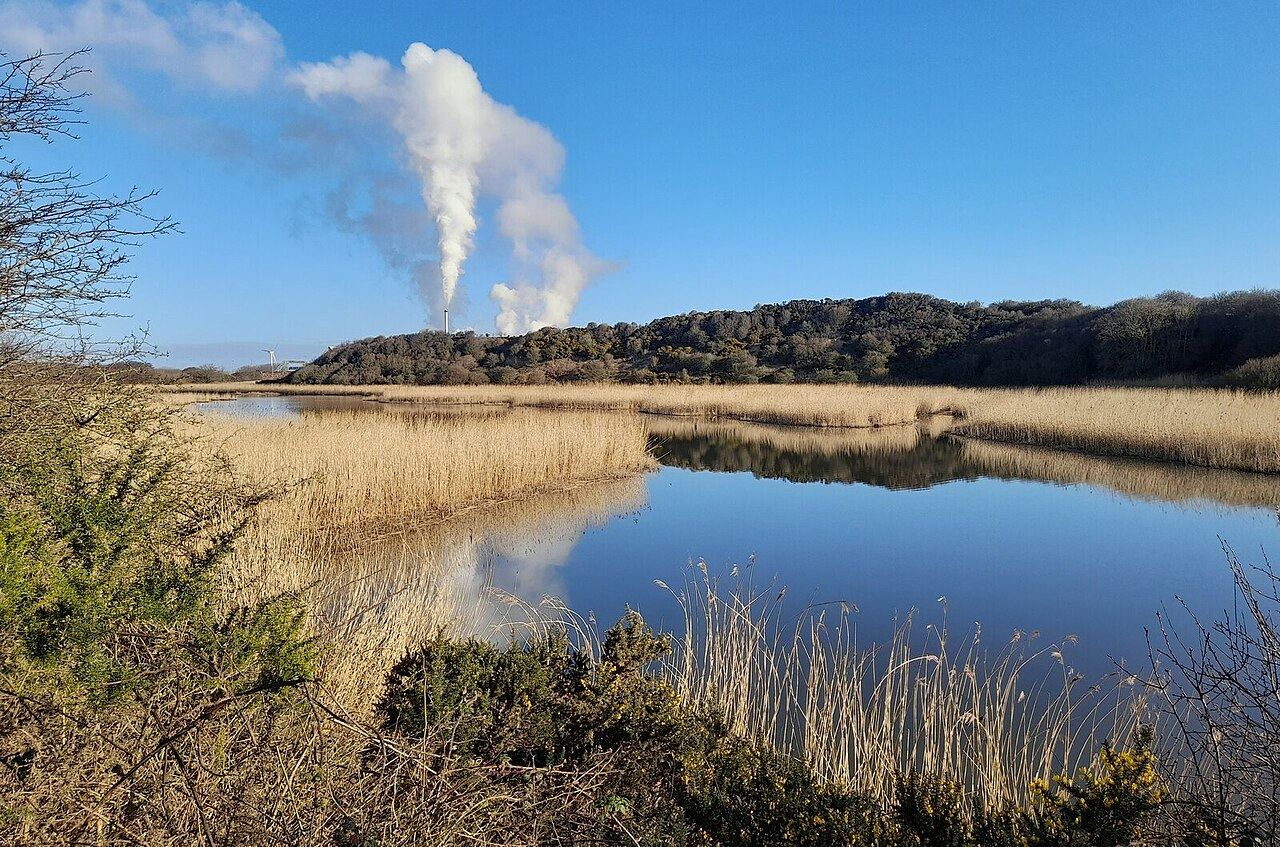
A reedbed beside the Iggesund mill at Workington, and the Cumbrian site for bittern, with teal, goldeneye and pochard in winter. The hide is through the Iggesund site and needs a key from the gatehouse.
Tip. A calm, cold winter morning is your best chance of a bittern at the reed edge; park free at Dunmail Park and allow time to collect the hide key from the Iggesund gatehouse.
The practical bits
Access
Free access all year along the old mineral railway embankment (now a cycle path) from Dunmail Park next to Edgar's car showroom, off the A596 between Workington and Siddick
Parking
Free, in the Dunmail Park (Asda) car park; visitor parking at the Iggesund plant for the hide
Hides
One hide (the HUB, Hide for Unbelievable Birds), reached through the Iggesund Paperboard site; ask for the key at the gatehouse
Step-free
The embankment cycle path is a made surface; hide access not verified
Cost
Free
Best time
Winter for wildfowl and bittern
Checked Tuesday 29 September 2026 against this page.
A quick urban stop for purple sandpiper and rock pipit on the breakwater rocks at the Derwent mouth, two birds you'll struggle to find elsewhere on this coast. Pair it with Siddick Ponds.
Tip. Purple sandpipers are a late autumn to early spring bird here, so check the breakwater rocks around high tide; parking and toilets weren't verified, so treat it as a stop, not a day.
The practical bits
Access
Public access to the harbour side and breakwater at the mouth of the River Derwent
Hides
None
Cost
Free
Best time
November to March around high tide
Tides
High tide pushes the waders onto the breakwater rocks
Checked Tuesday 29 September 2026 against this page.
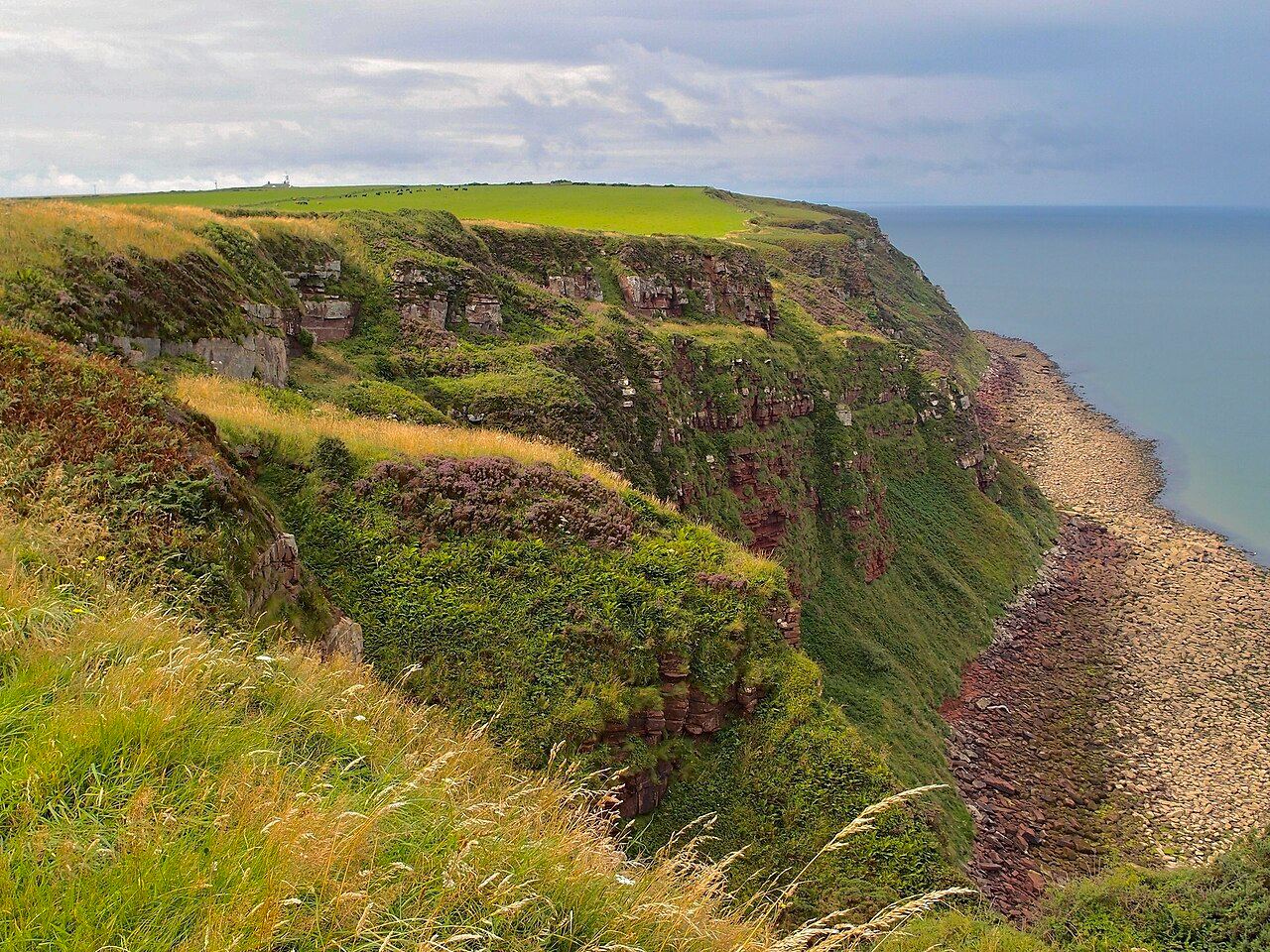
The seabird city: 90 metre cliffs with thousands of guillemots, razorbills, kittiwakes and fulmars from April to early July, a few puffins, and England's only black guillemots. Two steep miles up, no shade, no shop.
Tip. Go in the morning for the light on the cliffs, and check the RSPB page first because the footpath towards Fleswick Bay was closed by landslips at the time of writing.
The practical bits
Access
From St Bees village take Beach Road to the shore car park; cross the metal footbridge at the north end of the promenade and follow the coast path up the cliff. Viewpoints are 2 miles (3.2 km) from the car park
Parking
Council pay and display car park at St Bees shore (tarmac, no height restriction)
Hides
Three viewing platforms on the North Head
Toilets
Council toilets at the shore car park; none on the reserve
Cafe
Small cafe in the car park (not RSPB, three steps to enter); none on the head
Dogs
On leads on public footpaths and bridleways; assistance dogs welcome throughout
Step-free
No; the path is steep and uneven with wet rock and loose debris, unsuitable for wheelchairs and pushchairs
Cost
Free entry; car park charge applies
Best time
April to early July
Checked Tuesday 29 September 2026 against this page.
Cumbria's biggest dune system behind the Ravenglass spit: ringed plover and wheatear breed, hen harrier and barn owl hunt, natterjacks in the pools. Walk from Ravenglass station to Drigg and train back.
Tip. There's no beach access at high tide, so check the tables and walk out on the ebb; paths are muddy and a telescope helps for the far shore.
The practical bits
Access
Footpaths and lanes from Drigg or Ravenglass; a 2.5 mile linear walk from Ravenglass station to Drigg beach with a train back. Ravenglass and Drigg both have stations on the Cumbrian Coast line
Parking
No designated car park at the dunes; parking at Ravenglass railway station
Hides
None
Cafe
Pub in Ravenglass village
Dogs
Permitted
Step-free
No; sand, shingle and field paths
Cost
Free
Best time
April to June for breeding birds and natterjacks; October to February for estuary wildfowl
Tides
No beach access at high tide; check tide tables
Checked Tuesday 29 September 2026 against this page.
Cumbria Wildlife Trust's dunes south of the Esk, with ringed plover in spring, curlew and goldeneye in winter and natterjacks in the pools. It sits beside the MoD firing range, which is the catch.
Tip. Ring the range on 01229 712200 before you go, don't enter when the red flag is flying, and don't try it at high tide because the reserve is cut off.
The practical bits
Access
From the A595 at Waberthwaite turn through the village and continue 1.5 miles; under the viaduct the road swings left. The public footpath to the reserve entrance can be very muddy and slippery. No access when the red flag is flying
Parking
Park on the left just before the viaduct; alternative approach via Bootle village
Hides
None
Toilets
None
Cafe
None
Dogs
On leads
Step-free
No; unmarked circular paths (4 km / 2.5 miles) over dunes and saltmarsh
Cost
Free (donations welcome)
Best time
April to July and October to February
Tides
Not accessible at high tide
Checked Tuesday 29 September 2026 against this page. Coordinates converted from CWT grid reference SD 085 943. Cattle graze the reserve.
A flooded iron mine turned lagoon at Millom and the easiest tern colony you'll watch: little, common and Sandwich terns on an island right off the sea wall hide, May to July. No toilet, no cafe.
Tip. May to July for terns; in winter the estuary waders are closest to the sea wall around high tide, the path to the hide is 1.5 miles of rolled stone, and the nearest toilets are in Haverigg, about a mile away.
The practical bits
Access
From Millom town square take the second right onto Mainsgate Road (signed Hodbarrow RSPB), continue about half a mile and turn left by the lagoon to the car park. Also on foot from Haverigg
Parking
Car park at the end of Mainsgate Road, firm stone surface, ample spaces, free
Hides
Sea wall hide, 1.5 miles (2.5 km) from the car park on a rolled stone path with no gates, steps or stiles
Toilets
None on site; nearest at Haverigg, about 1 mile
Cafe
None; nearest food and drink in Millom or Haverigg, about 1 mile
Dogs
Allowed anywhere on a lead at all times
Step-free
Yes; the main path to the hide is wheelchair and pushchair accessible, with 28 inch gaps through the vehicle barriers
Cost
Free
Best time
May to July for terns; November to February for wildfowl
Tides
Estuary waders are closest to the sea wall around high tide
Checked Tuesday 29 September 2026 against this page.
National Trust dunes on the Duddon with a quarter of the UK's natterjack toads, and oystercatcher, curlew, dunlin and sanderling on the shore. A beach day with birds attached.
Tip. Waders come closest two hours either side of high tide; for natterjacks come at dusk in April or May and listen at the pools near the car park, and never go onto the estuary mud.
The practical bits
Access
Roanhead, Hawthwaite Lane, near Barrow-in-Furness. Countryside open dawn to dusk. On the Cumbria Coastal Way; nearest station Barrow (4.5 miles), no direct bus
Parking
Small car park with disabled bays; pay by JustPark app or machine, free for National Trust members
Hides
None
Toilets
Open through the summer season
Cafe
None; welcome hut closed
Dogs
On leads and under close control
Step-free
Boardwalks from the dunes to the beach; paths through the dunes are uneven
Cost
Free entry; parking charge for non-members
Best time
April and May for natterjacks and migrants; September to February for waders and wildfowl
Tides
Two hours either side of high tide for waders; never go onto the estuary mud
Checked Tuesday 29 September 2026 against this page.
The best all-round bird site in Furness: breeding eiders, Cumbria's only grey seal colony, huge winter wader roosts and serious seawatching, plus an observatory that has logged around 300 species. Non-members pay.
Tip. Arrive before high tide for the waders and seals; the access road floods on very high tides above 10.5 metres, and the reserve opens 10am to 5pm (4pm in winter) with the gate locked shortly after.
The practical bits
Access
From Barrow follow brown signs over Jubilee Bridge onto Walney, then Carr Lane south past South End caravan site to the reserve gate. Open daily 10am to 5pm (4pm in winter); the gate is locked shortly after closing. Visitor cabin open Friday to Monday
Parking
Car park at the reserve; bicycle parking
Hides
Bird hides around the reserve (BirdForum lists six hides and two screens)
Toilets
Yes
Cafe
None; tea, coffee and biscuits in the visitor cabin when open; picnic area
Dogs
Assistance dogs only
Cost
Free for CWT members; non-members £3 adults, £1 children
Best time
Autumn and winter high tides for waders and seals; late summer and autumn for seawatching
Tides
High tide for wader roosts and seals; road may flood above 10.5 m tides
Checked Tuesday 29 September 2026 against this page.
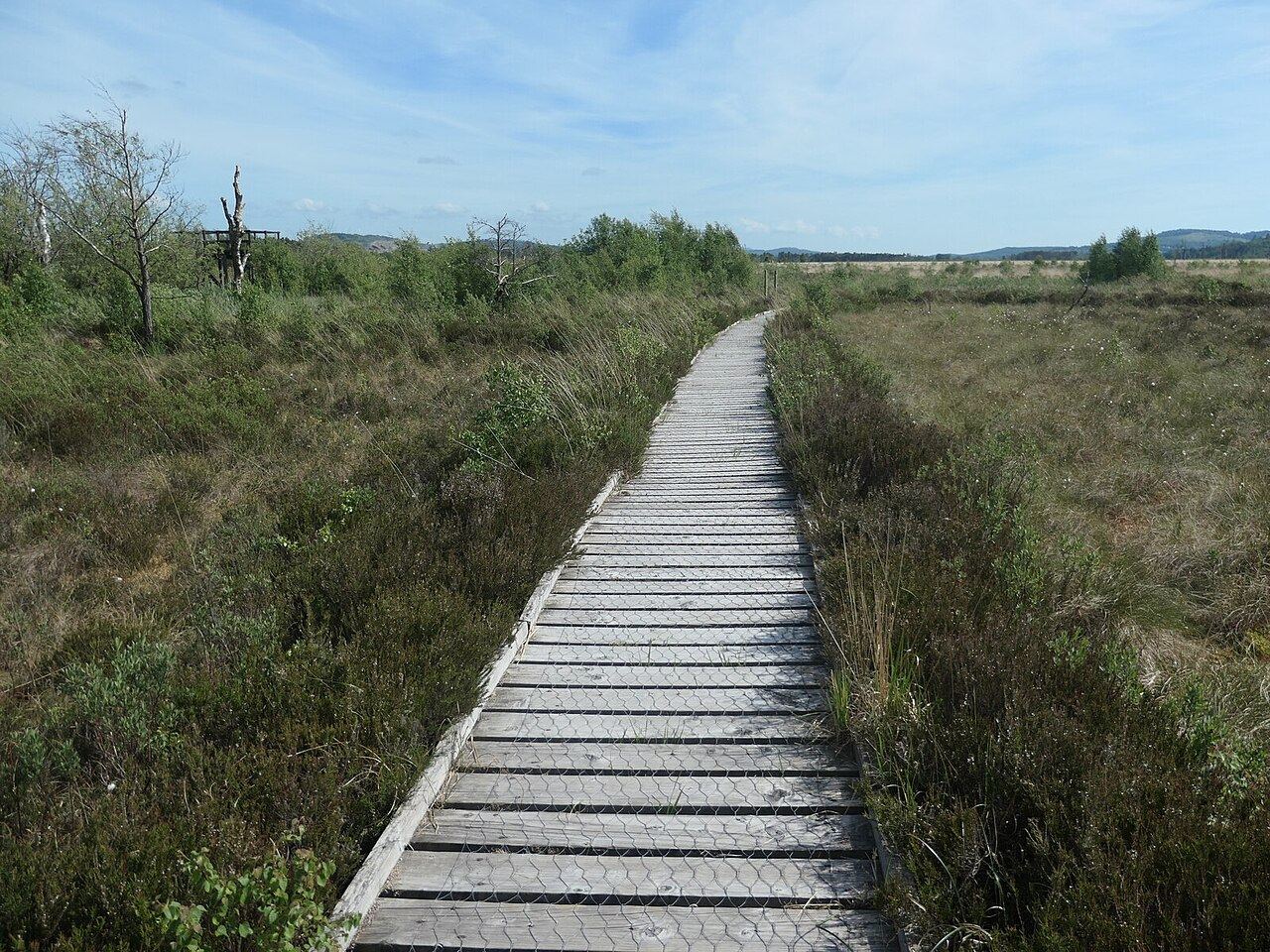
Where you see ospreys in Cumbria. A pair has nested on this bog since 2014, raising 32 chicks, a second came in 2025, and you watch from a boardwalk platform with a telescope, late March to late August.
Tip. Arrive early on fine weekends because parking is small and limited, stay on the boardwalks because the bog off them is deep and wet, and check the osprey cam before you set off.
The practical bits
Access
Off the A590 near Witherslack; boardwalks lead from the car park, one crossing the best bog to a viewing platform (1.5 km / 1 mile). No access off the boardwalks. Bus X6 stops at Low Fell End and Parkside Cottages
Parking
Small and limited parking area; no minibus parking, drop-offs only. Bicycle parking
Hides
Raised viewing platform with telescope for the ospreys, plus two hides with bird feeders
Toilets
None
Cafe
None
Dogs
On a lead
Step-free
Boardwalks throughout; the page does not state wheelchair suitability
Cost
Free
Best time
April to August
Checked Tuesday 29 September 2026 against this page.
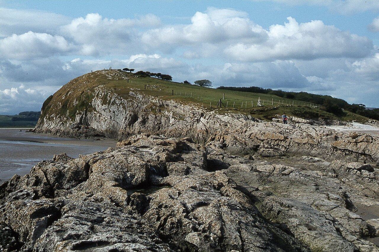
A limestone headland in Morecambe Bay with peregrines most years and a wader roost below that Cumbria Wildlife Trust puts at over 30,000 birds. The 2 km grass walk to the top gives the lot.
Tip. Be there at least two hours before high tide and watch from the headland, not the shore; the saltmarsh circuit is only for low water after you've checked the tables.
The practical bits
Access
Directly from a public road; kissing gate on the main path. Beware sheer cliffs on the western side
Parking
Roadside parking
Hides
None
Toilets
None
Cafe
None
Dogs
On a lead
Step-free
No; grass path with small gradients and a kissing gate
Cost
Free (donations welcome)
Best time
Winter high tides for wader roosts; April to July for peregrines and flowers
Tides
Roost forms on the rising tide; saltmarsh route only at low water after checking tide times
Checked Tuesday 29 September 2026 against this page.
The easiest estuary birding in south Cumbria: a level promenade with free parking, cafes and toilets over Morecambe Bay's 240,000 waterbirds. On big tides the bore comes up first; kids remember that, not godwits.
Tip. Two hours either side of high tide, and never walk out onto the sands; the bore arrives about 1.5 to 2 hours before high water and the tide comes in as fast as a galloping horse.
The practical bits
Access
Promenade at the foot of the village; Arnside station on the Furness line with trains from Lancaster and Barrow
Parking
Free shoreside parking along the promenade and beach
Hides
None
Toilets
Public toilets on the promenade (card payment)
Cafe
Several cafes and pubs on the promenade
Step-free
Yes; the promenade is level
Cost
Free
Best time
September to March around high tide
Tides
Two hours either side of high tide; siren warns of the incoming tide; never go onto the sands
Checked Tuesday 29 September 2026 against this page.
Not in Cumbria, just over the Lancashire border from Arnside, and here because it's the nearest place for bittern, bearded tit, marsh harrier and avocet. Seven step-free hides; non-members pay.
Tip. The hides are open dawn to dusk even when the centre's shut; non-members pay £10 adults and £5 children at the time of writing, autumn is for bearded tits on the grit trays and winter dusk for the starlings.
The practical bits
Access
Myers Farm, Storrs Lane, near Carnforth, close to Silverdale village; follow brown signs from J35 of the M6. Reserve and car park open dawn to dusk; visitor centre, cafe and toilets 9.30am to 5pm. Reachable by train
Parking
Main car park 90 spaces with 7 Blue Badge spaces, dawn to dusk, no height restriction; separate saltmarsh car park with 2 m height limit; no coach parking
Hides
Seven hides (Lilian's, Tim Jackson, Grisedale, Causeway, Lower, Allen and Eric Morecambe) plus the 9 m Skytower; all hides step-free with low windows for wheelchair users
Toilets
Yes; accessible toilet with baby changing open 24 hours at the rear of the visitor centre
Cafe
Yes, 9.30am to 5pm (hot food to 3pm), first floor with stair lift; shop with optics
Dogs
On leads on the Causeway public right of way and a designated dog path only; welcome in the visitor centre and car parks; assistance dogs everywhere
Step-free
Yes; Garden, Family and Lower trails and the Coastal trail are wheelchair accessible (except the Lower Hide path); Tramper hire available
Cost
Free for RSPB members; non-members £10 adults, £5 children 5 to 17 (first child free), £7 students, free for 16 to 24s and under 5s, £5 for arrivals by public transport or bicycle
Best time
All year; spring for bitterns and avocets, summer for marsh harriers, autumn for bearded tits, winter for starlings
Tides
Saltmarsh pools are best around high tide when waders come off the bay
Checked Tuesday 29 September 2026 against this page.
Read this before driving here for ospreys: the viewpoint project ended in 2022 and the nest is out of sight. What's left is a steep conifer wood with red squirrels and a tearoom, above a lake ospreys still fish.
Tip. Scan the lake from the higher tracks on a summer morning for fishing ospreys and go early and quietly for red squirrels; parking is pay on exit, up to £13 a day.
The practical bits
Access
Off the A591 Keswick to Bothel road; forest entrance and car park on the right opposite Mirehouse; buses 554, X4 and 73 (Saturdays only); car park open 24 hours; no camping or overnight stays
Parking
Pay on exit: up to 20 minutes free, first hour £2.10, then 55p per 15 minutes, all day maximum £13; 2 accessible spaces; card and contactless
Hides
No hides. Two former osprey viewpoints in the forest (lower and upper); the upper viewpoint is about 30 minutes' walk up forest tracks and no longer overlooks the nest
Toilets
Yes, in the car park
Cafe
The Old Sawmill Tearoom, open daily (check its website for hours)
Dogs
Allowed; assistance dogs welcome
Step-free
No. Trails are steep forest tracks: Dodd Summit trail 3 miles (4.5 km), Skill Beck trail 1.5 miles climbing over 300 metres, plus Douglas Fir and Sandbed Gill trails
Cost
Free entry; parking charges apply
Best time
April to August for ospreys over the lake; red squirrels all year
Checked Tuesday 29 September 2026 against this page.
The only Lake District water actually called a lake: pochard, goldeneye and goosander in winter, wood warbler and pied flycatcher in the lakeside oaks in early summer. The Powter How hide went in Storm Desmond in 2015.
Tip. Park on the minor road just north of Powter How and walk under the A66 to the shore; there are no usable lay-bys on the A66 itself.
The practical bits
Access
Lakeshore from car parks and lay-bys on the western shore (Ouse Bridge, Peel Wyke, Beck Wythop, Blackstock Point, Woodend) and the path from Powter How under the A66; no public right of navigation and all boat users need a permit; two no boating zones
Parking
Car parks and lay-bys along the western shore; small car park on the minor road just north of Powter How
Hides
The public hide at the Powter How shore was washed away in Storm Desmond in 2015 (Cumbria Bird Club). Dubwath Silver Meadows at the northern end has viewing points, boardwalks and topped-up feeders
Step-free
Dubwath Silver Meadows at the northern end is wheelchair accessible on recycled plastic boardwalks
Cost
Free
Best time
October to March for wildfowl; May and June for woodland songbirds; April to August for ospreys
Checked Tuesday 29 September 2026 against this page.
The easy win for kids in winter: the Wow Trail hide has feeders pulling in siskins, goldcrests, crossbills and woodpeckers, sometimes a red squirrel, plus cafe and toilets. Busy with bikes by mid morning.
Tip. Sit in the hide early, before the bikes arrive, and walk quietly because Cumbria Wildlife Trust says you're likely to see red squirrels anywhere in the forest; parking is pay on exit, up to £14 a day.
The practical bits
Access
Whinlatter Pass (B5292) 2.5 miles above Braithwaite off the A66 west of Keswick; main car park and toilets open 8.30am to 8.30pm; free admission for visitors arriving without a car
Parking
Pay on exit by card or online: up to 20 minutes free, first hour £2.90, all day maximum £14; 4 accessible spaces
Hides
Wildlife hide with feeders on the Wow Trail (4.5 miles, surfaced paths, maximum gradient 1 in 7)
Toilets
Yes, main car park, 8.30am to 8.30pm
Cafe
Cafe Ambio, 9.30am to 4pm weekdays and 9.30am to 4.30pm weekends; visitor centre and bike hire 10am to 5pm
Dogs
Welcome
Step-free
Wow Trail is on surfaced paths with a maximum gradient of 1 in 7 and may suit some off-road mobility scooters; Revelin Moss trail (1 mile) is graded easy
Cost
Free entry; parking charges apply
Best time
Any time of year; go quietly for red squirrels
Checked Tuesday 29 September 2026 against this page.
England's only golden eagles lived here from 1969 until the last male vanished in 2015. Now it's ring ouzel, peregrine and raven on the crags, flycatchers in the Naddle woods, and nothing to buy for ten miles.
Tip. Mardale Head car park is open at all times but fills early in summer; May is the month for ring ouzel and cuckoo, and bring everything with you because the nearest shop is Shap.
The practical bits
Access
Along the reservoir road from Bampton to Mardale Head at the southern end; public rights of way only, marked on OS maps; the RSPB does not manage the paths; terrain steep and rugged with very uneven ground
Parking
Mardale Head car park (what3words weary.intrigued.published, NY469108), open at all times, small and very full in summer; pull-ins along the reservoir road; donation cairn, suggested £2 cash
Hides
No public hides. Bookable badger hide via wildhaweswater.co.uk
Toilets
None; nearest public toilets in Shap, about ten miles away
Cafe
None; nearest food and drink in Shap, about ten miles away
Dogs
Welcome on public footpaths and bridleways under close, effective control at all times; assistance dogs everywhere
Step-free
No; not wheelchair or pushchair accessible
Cost
Free (donations welcome); no BBQs at any time
Best time
April to July; May for ring ouzel, cuckoo and passage dotterel
Checked Tuesday 29 September 2026 against this page.
One of a handful of English hen harrier nesting sites; 2026 was its best season in over a century, 13 chicks from three nests. Black grouse and short-eared owl breed too, on a working farm with muddy tracks.
Tip. April to early July for displaying waders and the harrier sky dance; take the Stagsike trail on to Tindale Tarn and keep dogs on a lead because there are cattle with calves.
The practical bits
Access
Howgill car park near Hallbankgate, off the A689 east of Brampton; nearest station Brampton Junction about 2 miles; car park open daily dawn to dusk; visitor centre at Stagsike about a mile from the car park; five trails
Parking
8 spaces including 2 Blue Badge spaces; unsuitable for coaches; no height restriction; no lighting
Hides
Viewing screen at Tindale Tarn, reached over level pasture that is soft in wet weather
Toilets
Single accessible toilet with hand rail beside the Stagsike visitor centre, about 30 metres down a shallow slope; no baby changing
Cafe
No food for sale; tea and coffee making facilities at the visitor centre; nearest food in Hallbankgate, one mile away
Dogs
Welcome on a lead, as the reserve is a working farm; assistance dogs throughout
Step-free
Visitor centre is level with no steps (uneven slate flagstones); trails are uneven tracks and grassy paths through farmland, steep in places, not recommended for pushchairs or wheelchairs
Cost
Free entry
Best time
April to July
Checked Tuesday 29 September 2026 against this page.
A 150 acre upland lake on the edge of Geltsdale with whooper swans and goldeneye in winter, and the reserve's best spot for spring waders. The screen is reached over pasture that turns to soup.
Tip. Come along the old railway line from Tindale off the A689 or up the Stagsike trail from Howgill; winter for swans and diving duck, April and May for waders.
The practical bits
Access
Old railway line from Tindale off the A689, or the Stagsike trail from the RSPB Howgill car park; a circular walk of about 9 km goes round the tarn (Visit Cumbria)
Parking
Off the A689 at Tindale (BirdForum Opus), or the RSPB car park at Howgill (8 spaces, 2 Blue Badge)
Hides
Viewing screen at the tarn, reached over level but soft pasture
Toilets
Nearest at the RSPB Stagsike visitor centre
Cafe
None; nearest food in Hallbankgate
Dogs
On a lead; working farm
Step-free
No; the approach to the screen is level pasture but soft in wet weather
Cost
Free
Best time
October to March for whooper swan and goldeneye; April and May for waders
Checked Tuesday 29 September 2026 against this page.
A glacial lake near Brampton with a tearoom and a rowing club, more country park than wild place: wigeon in winter, brambling in the woods, red squirrels about. A winter stop, not a destination.
Tip. The park is open 24 hours, so go early on a winter morning before the walkers and rowers; toilets are 9am to 5pm and the downstairs tearoom 11am to 3.30pm.
The practical bits
Access
Tarn Road, Brampton, about 9 miles east of Carlisle; park open 24 hours a day, seven days a week
Parking
Pay and display; wheelchair accessible car park
Hides
None
Toilets
Yes, open 9am to 5pm, with baby changing
Cafe
Boat House Tea Rooms: downstairs tearoom and gift shop 11am to 3.30pm daily all year; upstairs tearoom seasonal, Easter to October half term 10.30am to 4pm, then winter weekends and school holidays
Dogs
Accepted; clean up after your dog (fines up to £1,000)
Cost
Free entry; parking charge
Best time
November to March
Checked Tuesday 29 September 2026 against this page.
Carlisle's biggest surviving woodland, granted to the citizens by Edward III in 1352 and a reserve since 1913. The council's bird list is short (woodpecker, nuthatch, treecreeper) but it's level, free and on the doorstep.
Tip. A quiet early walk in April or May when the woodland birds are singing; the council describes the paths as level and wheelchair suitable, but parking and toilets weren't verified.
The practical bits
Access
North Carlisle, entrances off Kingmoor Road and Lowry Hill Road; Kingmoor North CA3 0JQ, Kingmoor South CA3 9QH, Kingmoor Sidings CA3 9PW; open access
Hides
None
Dogs
Allowed; clean up after your dog (fines up to £1,000)
Step-free
Level paths suitable for wheelchairs (council Local Nature Reserve report)
Cost
Free
Best time
Spring for woodland birds
Checked Tuesday 29 September 2026 against this page.
Carlisle's simplest birding day out: free, a two mile tarmac circuit on the old Great Orton airfield, ramped hides, pond dipping, toilets and a cafe. Teal, snipe, tree sparrows, winter barn owls.
Tip. Open 9am to 4.45pm with last entry at 4pm and the car park locked at 5pm; dogs on a lead at all times.
The practical bits
Access
Off the minor roads between Great Orton and Wiggonby, 6 miles west of Carlisle; open 9am to 4.45pm daily, last entry 4pm; closed Christmas Eve, Christmas Day and Boxing Day
Parking
Free; car park locked at 5pm
Hides
Bird hides with ramps and large spaces; a wooden hide overlooks the main lake; pond dipping platforms
Toilets
Two accessible toilets, one in the visitor centre and one on the east side
Cafe
Watchtree Cafe 9am to 4.30pm daily, plus Three Hills Gelato Shack
Dogs
On a lead at all times
Step-free
Yes; two mile tarmac circuit completed in 2019; all trails wheelchair and buggy accessible; hides and pond dipping platforms ramped; accessible bike hire including wheelchair carrying tricycle
Cost
Free entry and parking; donations welcome; bike hire charged
Best time
October to April for wildfowl, snipe and tree sparrows; May and June for warblers
Checked Tuesday 29 September 2026 against this page.
Riverside woodland in the Petteril gorge south of Carlisle, and the nearest reserve to the city where Cumbria Wildlife Trust itself lists kingfisher and dipper. Small, steep, often muddy, no facilities.
Tip. April to July is the Trust's season; the footbridge near the entrance was closed at the time of writing, so check the Trust page first, and the lay-by parking is time limited.
The practical bits
Access
Entrances at Scalesceugh Hall (NY 447 495) and the north end (NY 442 505); public footpath on the east side, 1.2 km, unsurfaced with steep slopes and steps; open all year
Parking
Time limited lay-by parking
Hides
None
Toilets
None
Cafe
None
Dogs
On a lead
Step-free
No
Cost
Free; donations welcome
Best time
April to July
Checked Tuesday 29 September 2026 against this page.
Red sandstone gorges, the Settle to Carlisle line alongside and the 1834 viaduct at Wetheral, with some of the county's biggest winter goosander counts. Kingfisher and dipper unverified here; treat them as a bonus.
Tip. Start at Wetheral station beside the viaduct and follow the riverside path south through National Trust Wetheral Woods; winter for goosander, and no facilities were verified.
The practical bits
Access
Riverside public footpath south from Wetheral village and railway station (Newcastle to Carlisle line) through National Trust Wetheral Woods; Armathwaite also has a station, on the Settle to Carlisle line
Hides
None
Cost
Free
Best time
Winter for goosander
Checked Tuesday 29 September 2026 against this page.
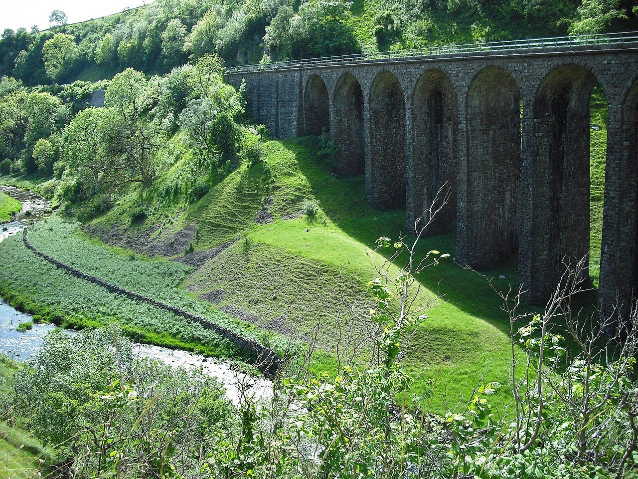
A disused railway west of Kirkby Stephen with a wooded gill, a 14 arch viaduct, redstart and pied flycatcher in summer and the Scotch argus butterfly. Flat and surfaced: the gentlest good-bird walk in the county.
Tip. Go early in May or June for the woodland songbirds; the viaduct is 3 miles return from the Smardale car park and the Trust doesn't mention toilets, so plan for none.
The practical bits
Access
From Smardale car park (what3words crispier.quench.snack, NY 742 083) along the disused railway; also from Newbiggin-on-Lune (NY 703 053) and Waitby Greenriggs (NY 756 085); open all year
Parking
Car park at Smardale with bike rack; roadside parking at Newbiggin-on-Lune and Waitby
Hides
None
Dogs
On a lead
Step-free
Yes; wheelchair and pushchair accessible surface from the car park to Newbiggin-on-Lune with ramps at both ends (7 miles return; viaduct 3 miles return)
Cost
Free; donations welcome
Best time
April to August
Checked Tuesday 29 September 2026 against this page. Toilets not mentioned by the Trust. Car park capacity not stated. Coordinates converted from the Smardale car park grid reference.
Home of the Cumbrian red kite: 90 were released here between 2010 and 2012 and the first Cumbrian breeding since 1807 came in 2014. Busy with sculptures and bikes; the Ridding Wood trail is tarmac for pushchairs.
Tip. Any month for kites; head for an open viewpoint like Carron Crag and look up, and expect pay on exit parking up to £14 a day.
The practical bits
Access
Grizedale visitor centre on the minor road from Hawkshead to Satterthwaite; visitor centre 10am to 5pm; bike hire 9.30am to 5pm
Parking
Pay on exit; up to 20 minutes free; main car park first hour £2.90 then 70p per 15 minutes, all day maximum £14; smaller car parks £2.20 first hour then 55p per 15 minutes; 6 accessible spaces; members free
Hides
None
Toilets
Yes, including accessible toilet
Cafe
Cafe Ambio 10am to 5pm daily
Dogs
Allowed
Step-free
Yes; Ridding Wood trail 1 mile (1.5 km) on tarmac from the visitor centre car park; all terrain mobility scooter hire
Cost
Free entry; parking charges apply
Best time
Any month for red kites; April to June for woodland songbirds
Checked Tuesday 29 September 2026 against this page.
The roadless western valley, Cumbria's largest National Nature Reserve since 2022, with 30 miles of traffic free paths and 100 to 150 red squirrels. Honest bird list: dipper, ring ouzel, green woodpecker, yellowhammer.
Tip. Bleach Green is free and flat with a lakeshore loop graded for wheels and toilets in Ennerdale Bridge; Bowness Knott is pay parking (the operator and the Trust quote different prices, so check) and the end of the public road.
The practical bits
Access
Bleach Green car park 1.5 miles from Ennerdale Bridge for the lakeshore path; Bowness Knott car park is the end of the public road, 3.1 miles further round the lake; no vehicle access beyond it unless staying at the YHA or field centre; lakeshore cycle path between the two car parks and forest roads beyond
Parking
Bleach Green free (CA23 3AS); Bowness Knott (Forestry England, CA23 3AU) pay by RingGo: up to 2 hours £3, up to 4 hours £6, all day £10; members free
Hides
None
Toilets
None at the car parks; nearest in Ennerdale Bridge, with accessible toilets
Cafe
The Gather cafe in Ennerdale Bridge
Dogs
Welcome under close control to protect stock and wildlife
Step-free
Yes; Ennerdale Views from Bleach Green, 3.2 km loop graded For many on a well surfaced lane and lakeshore path, class 2 or 3 mobility scooters; the longer 4.2 km loop is currently not suitable for wheels after flood damage
Cost
Free; parking charge at Bowness Knott
Best time
April to July
Checked Tuesday 29 September 2026 against this page.
England's largest temperate rainforest and the county's best oakwood birding: pied flycatcher and redstart in Great Wood and Johnny Wood from late April, peregrines and ravens on the crags. Accessible path to Friar's Crag.
Tip. Late April to June, early morning, for the flycatchers; winter evenings for tawny owls and ravens, with accessible toilets at Seatoller, Rosthwaite and Watendlath.
The practical bits
Access
National Trust car parks along the B5289 south of Keswick: Great Wood (CA12 5UP), Kettlewell (CA12 5UN), Bowderstone (CA12 5XA), Seatoller and Honister (CA12 5XN), Rosthwaite (CA12 5XB), Ashness Bridge (CA12 5UN), Surprise View (CA12 5UU), Watendlath (CA12 5UW)
Parking
Pay and display by machine or JustPark app; free for National Trust members
Hides
None
Toilets
Accessible toilets at Seatoller, Rosthwaite and Watendlath
Cafe
Moon and Sixpence coffee shop near Crow Park, Keswick
Dogs
Welcome under close control
Step-free
Yes; accessible path to Friar's Crag, the Bowder Stone and the boardwalk at the southern end of Derwentwater; accessible loop through Cockshot Wood
Cost
Free; parking charges for non-members
Best time
Late April to June
Checked Tuesday 29 September 2026 against this page.
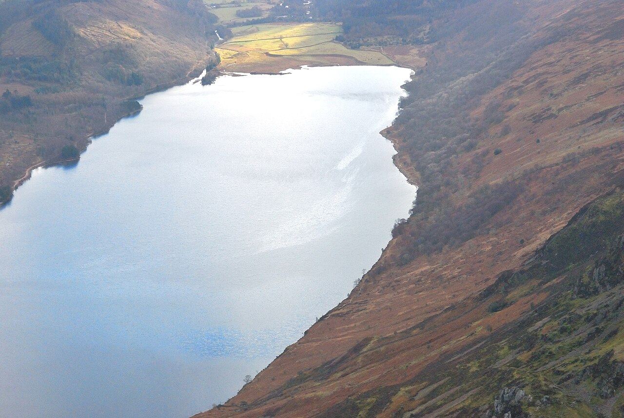
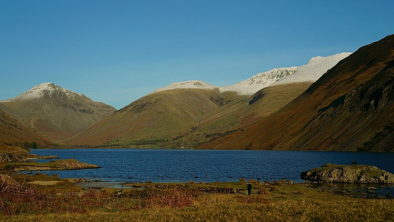
The deepest lake in England, with the Screes falling 600 metres into it. Fell birding: few species but the proper ones, peregrine, raven and ring ouzel, and the path under the Screes is boulders, not a stroll.
Tip. April to July for ring ouzel on the crags; National Trust car parks at Lake Head (toilets), Overbeck and Nether Wasdale are pay and display with no overnight parking.
The practical bits
Access
Single road up the valley to Wasdale Head; lakeshore path the full length of Wast Water below the Screes through boulders and scree; woodland walks at Nether Wasdale and Low Wood on the south west shore
Parking
National Trust pay and display at Lake Head (CA20 1EX), Overbeck and Nether Wasdale, free for members; no overnight parking
Hides
None
Toilets
National Trust toilet block with accessible toilet at Lake Head car park
Dogs
Welcome under close control to protect stock and wildlife
Step-free
No; much of the countryside is steep and rugged
Cost
Free; parking charges for non-members
Best time
April to July
Checked Tuesday 29 September 2026 against this page.
The classic easy Lakeland circuit, 5.3 miles round Rydal Water and Grasmere, with whooper swans wintering on Elterwater to the west. Thin on verified birds; go for the walk, count the swans as a bonus.
Tip. Winter for the swans; the paths are rammed in summer so go early, and parking and toilet details weren't verified, so check before you go.
The practical bits
Access
Rydal Water and Grasmere circular walk, 5.3 miles on a well maintained low level path; Grasmere lakeshore walk 4 miles; Elterwater village is off the B5343 in Great Langdale
Hides
None
Cost
Free; parking charges
Best time
October to March for wintering swans and wildfowl
Checked Tuesday 29 September 2026 against this page.
A bleak reservoir south of Shap, Crow Crag in Withnail and I, with no regular birds verified. Listed because a white stork, a crane and a ring-necked duck turned up in one week in April 2024.
Tip. Signed from the A6 near M6 junction 39; park under the dam and wear wellies because the circuit is usually wet.
The practical bits
Access
Signed from the A6 near M6 junction 39; public footpath along the south shore from the car park at the end of the dam; circular walk with a short section of indistinct boggy ground marked by white posts
Parking
Public car park beneath the dam
Hides
None
Toilets
None
Cafe
None; nearest in Shap
Step-free
No
Cost
Free
Checked Tuesday 29 September 2026 against this page.
A canal reservoir beside the M6 with a services on its bank: quick, opportunistic, occasionally brilliant. Ospreys and scoters on passage, a great grey shrike in 2021, crane and stork in 2024; no regular list verified.
Tip. Killington Lake services is on the southbound M6 only; spring and autumn passage are when the surprises happen, so check the sightings pages first.
The practical bits
Access
Beside the M6; Killington Lake services, on the southbound carriageway only, is on the bank; fishing from the banks only, no boats except the sailing club
Hides
None
Toilets
At Killington Lake services (southbound M6)
Cafe
At Killington Lake services (southbound M6)
Cost
Free
Checked Tuesday 29 September 2026 against this page.
Limestone pavement above Burton-in-Kendal with woodcock in the woods, skylark over the top and fieldfare and redwing in winter. Most people come for the orchids, the butterflies and the boulders; slippery when wet.
Tip. April to July; wear boots because wet limestone is slippery, parking is a limited lay-by, and it's open access land so you can roam beyond the two waymarked routes.
The practical bits
Access
Open access land with public rights of way and informal paths; entrance at SD 54350 78080; two waymarked circular routes, white 1.5 km and red 2.6 km, plus an audio trail; open all year
Parking
Limited lay-by parking at SD 54306 78285
Hides
None
Toilets
None
Cafe
None
Dogs
On a lead
Step-free
No; paths narrow, uneven and muddy, limestone slippery when wet
Cost
Free; donations welcome
Best time
April to July
Checked Tuesday 29 September 2026 against this page. Coordinates converted from the Trust's parking grid reference.
Keswick and the northern LakesCumbria Wildlife TrustFreeFamily
Dubbs Moss
Cockermouth · CA13 0QU · best
Willow tit
Whitethroat
Blackcap
Chiffchaff
Fieldfare
Redwing
Birch and fen outside Cockermouth, reached from The Old Stack Yard Tea Rooms, the right order for a family: tea room, then bog. Willow tit is the bird here; the Trust recommends wellies all year.
Tip. Park at the tea rooms and follow the white topped fence posts round the 0.8 km circuit; it's very wet in places whatever the season.
The practical bits
Access
From The Old Stack Yard Tea Rooms, Wellington Farm (NY 107 294), whose 0.7 km nature trail links to the reserve entrance (NY 103 290, what3words laws.jaunts.digested); 0.8 km circuit; open all year
Parking
At The Old Stack Yard Tea Rooms, Wellington Farm
Hides
None
Cafe
The Old Stack Yard Tea Rooms at Wellington Farm
Dogs
On a lead
Step-free
No; kissing gates, undulating and very wet ground
Cost
Free; donations welcome
Best time
April to August
Checked Tuesday 29 September 2026 against this page. Tea room opening hours and toilets not verified. Coordinates converted from the reserve entrance grid reference.
Every entry was checked against the manager's own page on the date shown inside it. If a hide has closed or a car park has started charging, tell us and we will fix it.