Lake District Winter Walks: 15 Low Routes for Short Days
Small hills, lake circuits and quiet woods you can finish before the 4pm sunset, with the car park prices and the honest buggy notes.

Small hills, lake circuits and quiet woods you can finish before the 4pm sunset, with the car park prices and the honest buggy notes.
The best Lake District winter walks are short, low-level routes such as Orrest Head, Latrigg, Tarn Hows, Friar's Crag and Loughrigg Tarn, each about an hour on good paths. For quieter days try Arnside Knott, Foulshaw Moss, Smardale Gill or Talkin Tarn. Sunset in Keswick is about 3.50pm in mid December, so start by early afternoon.
Checked 2 November 2026. Car park prices, paths and storm closures change, so the official link on each walk is the one to trust.
The best Lake District winter walks are the low ones. Short days, icy fell tops and a sun that clocks off before the school run mean the clever move from November to February is a lake, a tarn or a small hill with a big view, done in two hours with a brew at one end. Below are 15 of them, from Orrest Head and Latrigg to a few quieter ones most visitors drive straight past, with parking, toilets, buggy honesty and the time you need to be back at the car.
A word on light, because it runs the whole show. In Keswick the sun set at 4.39pm on 1 November, it is down to about 3.55pm by the end of the month, and the earliest sunset of the year is 3.49pm on 14 December. So a walk that "only takes an hour" needs starting by about 2pm, not at 3.15pm after a long lunch and a hunt for someone's other glove (it is always in the boot).
The Lake District in winter rewards the early starter and punishes the person who says "we've got loads of time" at half two.
These give you the summit feeling without the summit weather. Each one is under an hour up from its car park, and each one makes children feel like mountaineers, which helps on the way down when the legs mysteriously stop working.
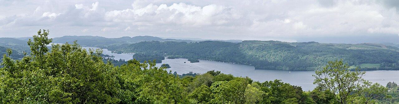
The classic first walk from Windermere station, and still one of the best views for the effort in the county. The National Park's Miles without Stiles route starts by the lower entrance of the Windermere Hotel, about three minutes' walk from the station, and climbs 120 m to a summit at 238 m with benches and the whole length of Windermere laid out below.
The first stretch is steep tarmac (up to 1 in 4, so this is where the grumbling happens), then it eases on to gravel. Follow the blue signs for the easier route; the red paths have steps. It is a great choice for a family with no car, because you can get off the train, walk up, and be in a Windermere cafe before the light goes.
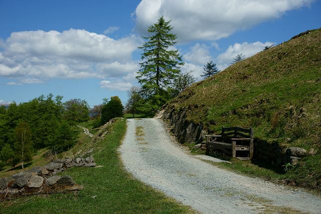
Latrigg is the cheat's summit of Keswick, and I mean that kindly. From the small car park at the head of Gale Road above Applethwaite, the National Park route is about 1 km each way on compacted stone, roughly half an hour up, to a bench and a view over Keswick, Derwentwater and the fells beyond that people normally earn with three hours of suffering. The top of the hill is 368 m.
The route is graded "for some": the steepest part is 1 in 7 for about 150 m and the last bit near the summit is steep and uneven. From Keswick itself it is a proper outing of about 3 miles and two to two and a half hours, via Fitz Park and Spooney Green Lane, with a steep first 500 m and a descent Visit Keswick describes as often muddy. In midwinter the bench is windy, so the hot chocolate flask is less a treat and more a piece of safety equipment.
Just outside the National Park, in the Arnside and Silverdale National Landscape, this little limestone hill (159 m) has a view that is out of all proportion to its size: Morecambe Bay one way, the Lakeland fells the other, with a toposcope so you can settle the "is that Scafell?" argument, and Ingleborough on a clear day. The National Trust circuit is 1.7 miles and they allow two hours, with gates, steep slopes and loose, uneven paths.
The car park on the Knott is small and unmarked (15 to 20 cars, no toilets), so on a sunny weekend arrive early or walk up from the village. Down on the promenade there are toilets (card only) and cafes. Stay off the sands: the estuary has fast tides, shifting channels and quicksand, and the coastguard sounds a siren as the tide comes in.
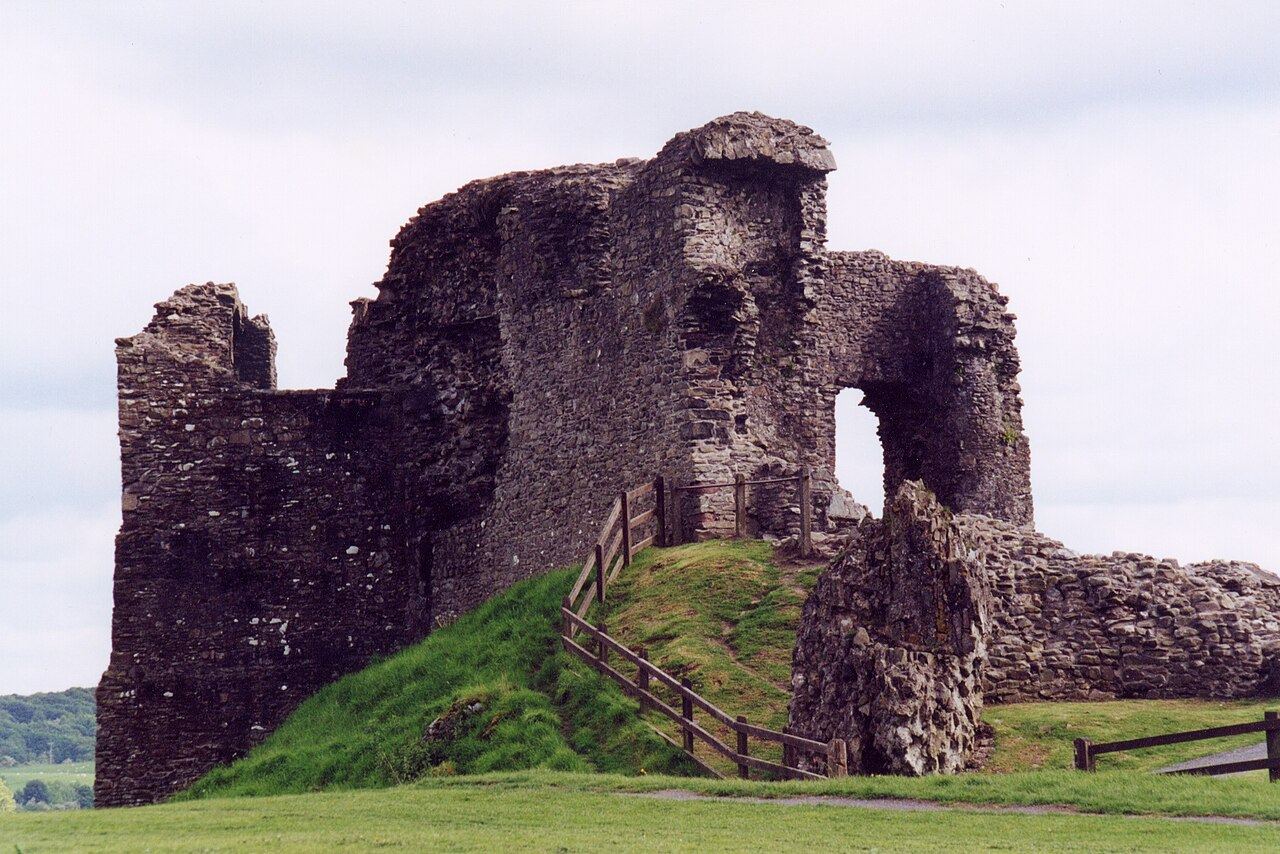
A ruined castle on a grassy hill above the town, free to wander, run by Westmorland and Furness Council, with information boards and a view across Kendal to the fells. It is the ideal winter half-day because you can walk up from a town-centre car park, run around a medieval ruin (within reason, it is a ruin), and be back in the warm within the hour.
It pairs nicely with an evening event: on Thursday 19 November 2026 Friends of the Lake District run a Family Night Walk and Stargaze from the Abbot Hall Park archway, 6.30pm to 7.30pm, with the Eddington Astronomical Society. Bring a head torch and waterproofs; no dogs; booking opened on 1 November (01539 720788).
Flat-ish, signposted and mostly on good paths, these are the backbone of a winter break. They are also where the cafe question gets settled early, because nothing ends a family walk faster than "is there a cafe?" followed by "no".

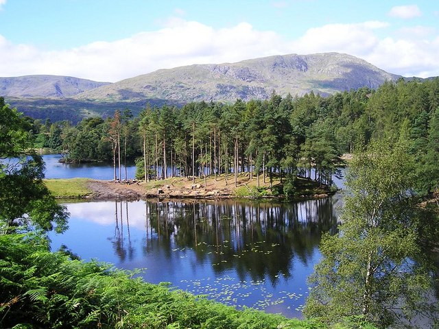
Famous for a reason. The National Trust's circuit is 2 miles on a firm gravel path that suits pushchairs, wheelchairs and mobility scooters, with some short steep bits, and they allow an hour. On a frosty morning with the tarn still and the fells white, it looks like the lid of a shortbread tin.
The field section can get muddy (the road is the alternative), and there are free Tramper scooters to book 48 hours ahead. There are toilets with baby changing at the car park. The car park is open dawn to dusk, which in December is a hint as much as an opening time.
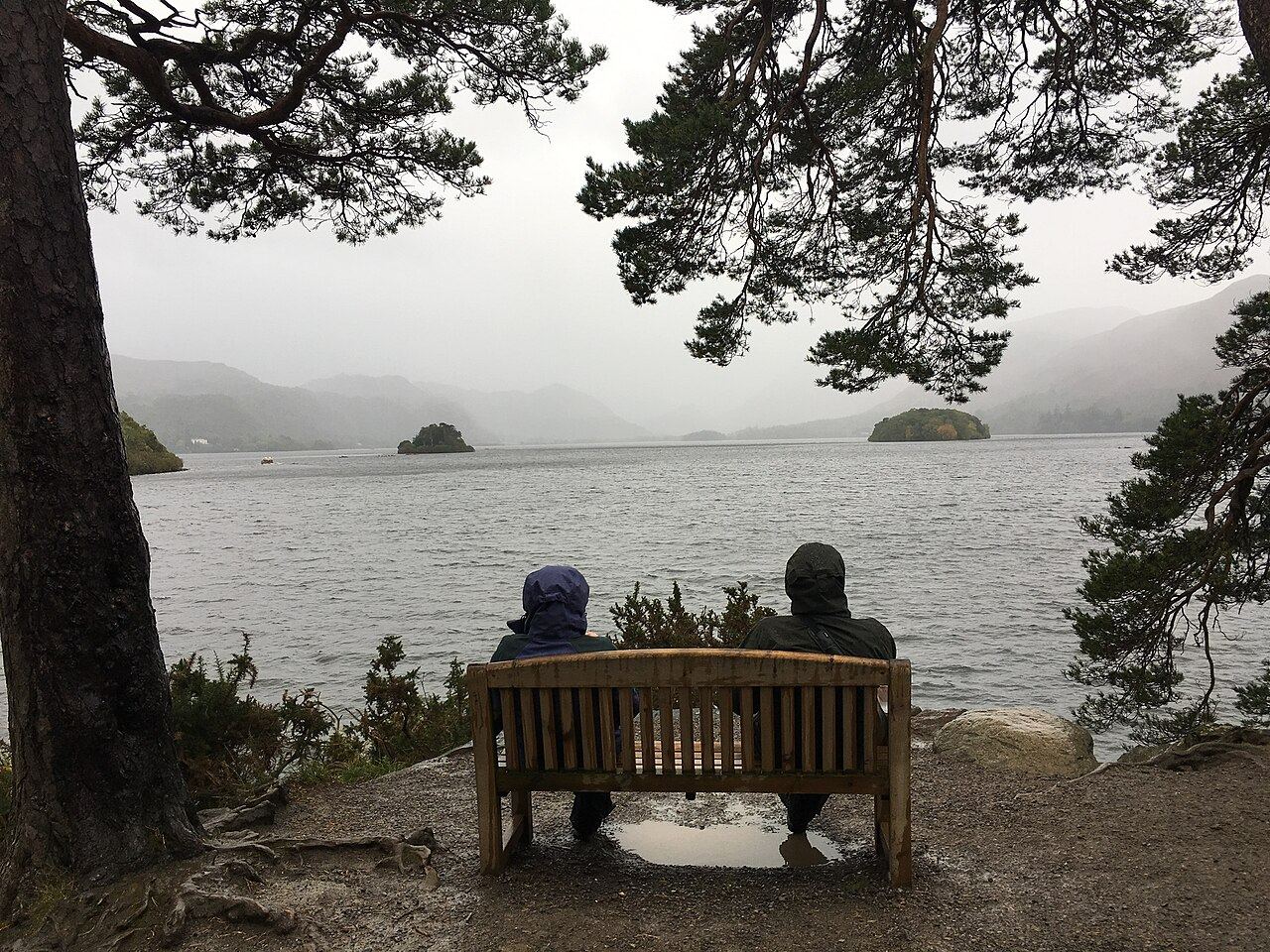
The easy Keswick lakeshore stroll from the Theatre by the Lake car park out to the rocky point on Derwentwater, about an hour and a half there and back if you dawdle and skim stones (you will). It is the walk to do when the cloud is down on everything else, because the lake still looks grand at eye level.
At the moment the National Park grades it "for some" because of potholes and small steps, and the viewpoint path itself is damaged and being repaired by the National Trust, so wheeled users should take the upper path across the field instead. There is a cafe at the theatre and the Lakeside tearooms nearby.
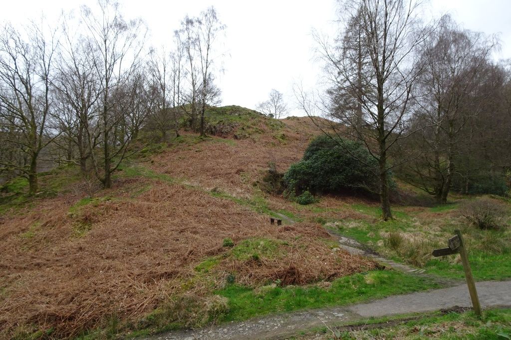
Between Grasmere and Rydal Water, this is the short version: about 1.2 miles and an hour from White Moss Common car park down to the River Rothay and along to Steps End, with an accessible bridge and three shallow fords (up to 4 cm, so wellies win). The wood is steep in places.
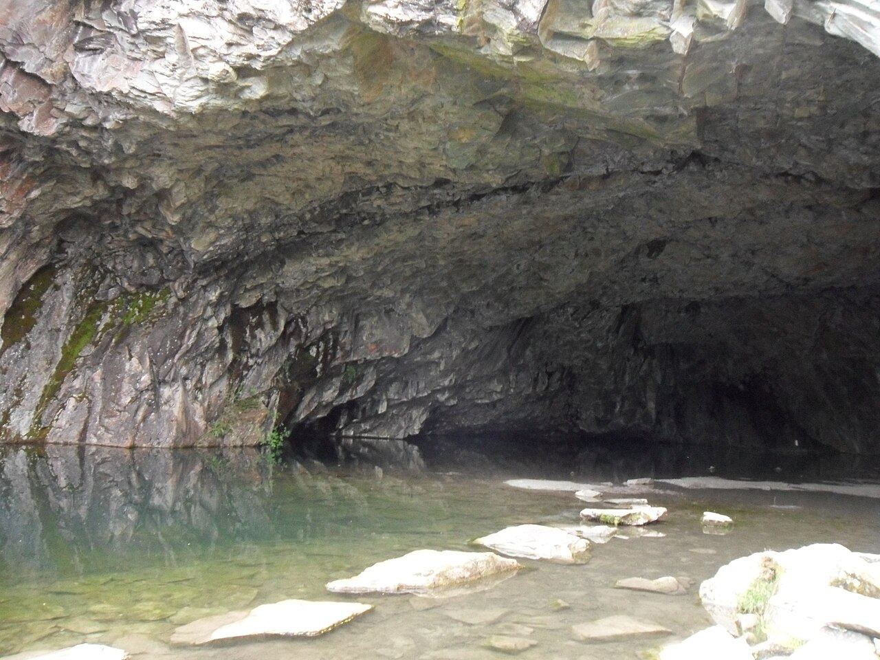
For more, carry on along Rydal Water to Rydal Cave and back over Loughrigg Terrace, about 3.5 miles and two to three hours. Look at the cave from the entrance rather than wading in; rocks have fallen from the ceiling. Beyond the junction the path is no place for a standard pushchair.
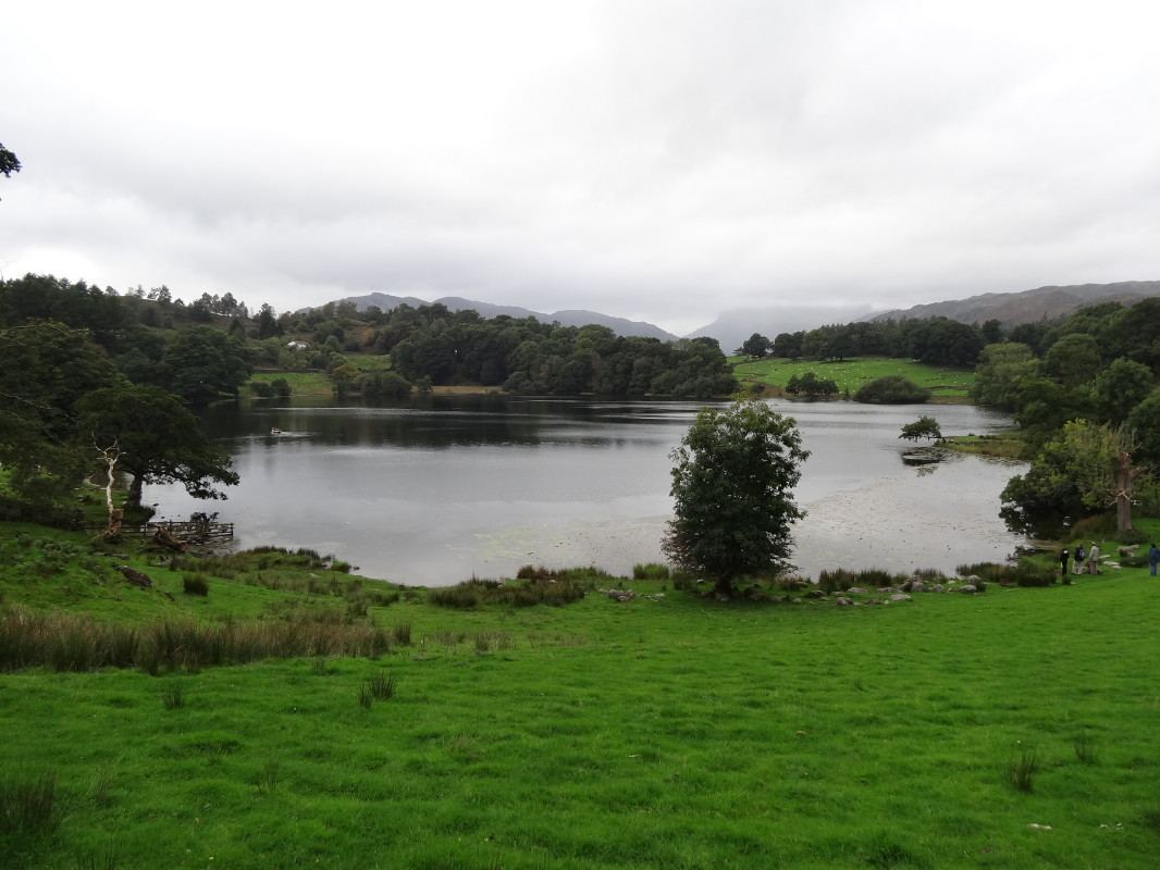
A small tarn with Langdale Pikes reflections, 1.7 miles round in about an hour, graded "for many" by the National Park. There is a short steep bit and a gate at Tarn Foot, and the return is on a lane with 1 in 7 sections and no pavement, so hold small hands.
There are no toilets at the tarn and no bus, but the cafe and pub at Skelwith Bridge are half a kilometre away, which is exactly the distance a seven-year-old can be bribed to walk.
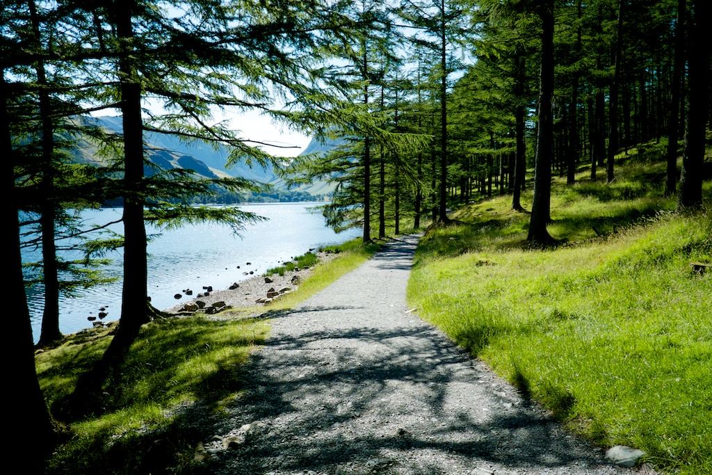
The full lap of Buttermere is about 4.5 miles, including the rock tunnel under Hassness that children talk about for weeks. In winter it is quiet, the light is low and gold, and the valley feels properly remote, partly because it is: the 77 and 77A bus finished for the season on 1 November.
The path has rough, washed-out sections and the National Park calls it very difficult at present for wheelchair users beyond the first 750 m. Allow three hours with children and start in late morning.
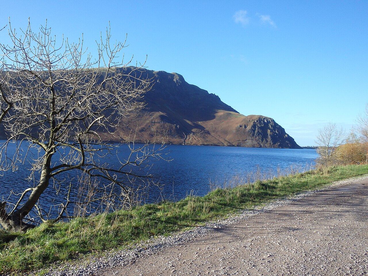
The westernmost lake, and the one with no road along it, so it feels wilder than its neighbours. From Forestry England's Bowness Knott car park you can walk out along the north shore and back as far as the light allows, which is the sensible winter plan. The full Round the Lake route is 6.5 miles and its south side is rocky and often very wet, so leave that for a long spring day.
Right now there is timber harvesting with some areas closed, and the Memorial Bridge opposite Pillar is shut (cross at Middle Bridge). There are no toilets at Bowness Knott; the nearest are at The Gather in Ennerdale Bridge, about 5 km away.
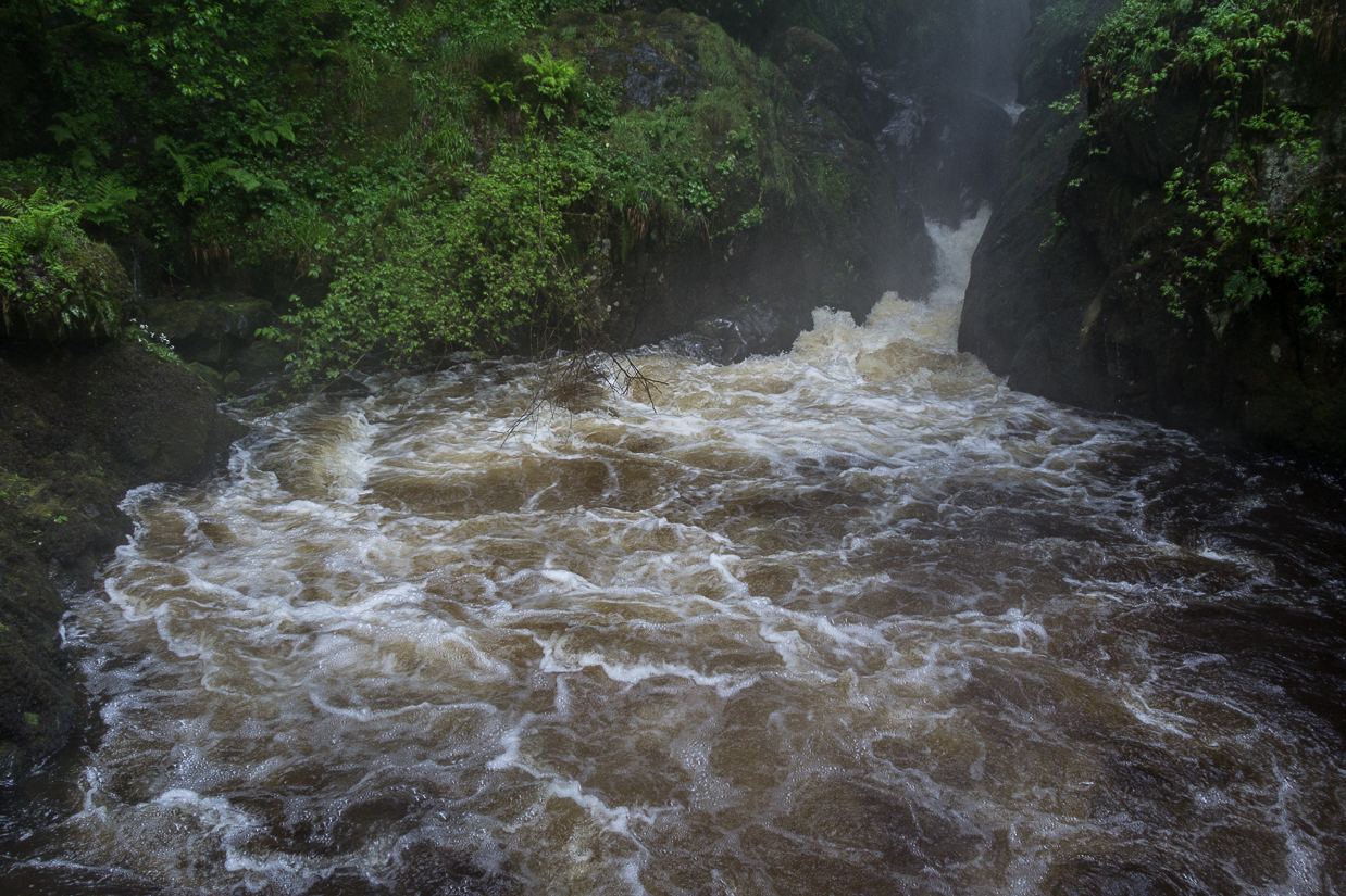
A 65 ft waterfall that is at its loudest and best after winter rain, which in Cumbria is a reliable supply. The longer Aira Force and Gowbarrow trail is 4.5 miles with steps, drops and muddy fell path; for a short day just go up to the falls and back from the car park.
It is not a buggy walk (steps, steep rough ground), so bring a baby carrier. The National Trust closed it on 25 October for a yellow wind warning, so check the page or ring 01768 482067 before you set off on a stormy week.
These sit just outside the National Park or off the main roads. None of them is in the usual top tens, all of them are good on a grey day, and the car parks are kinder to the wallet.
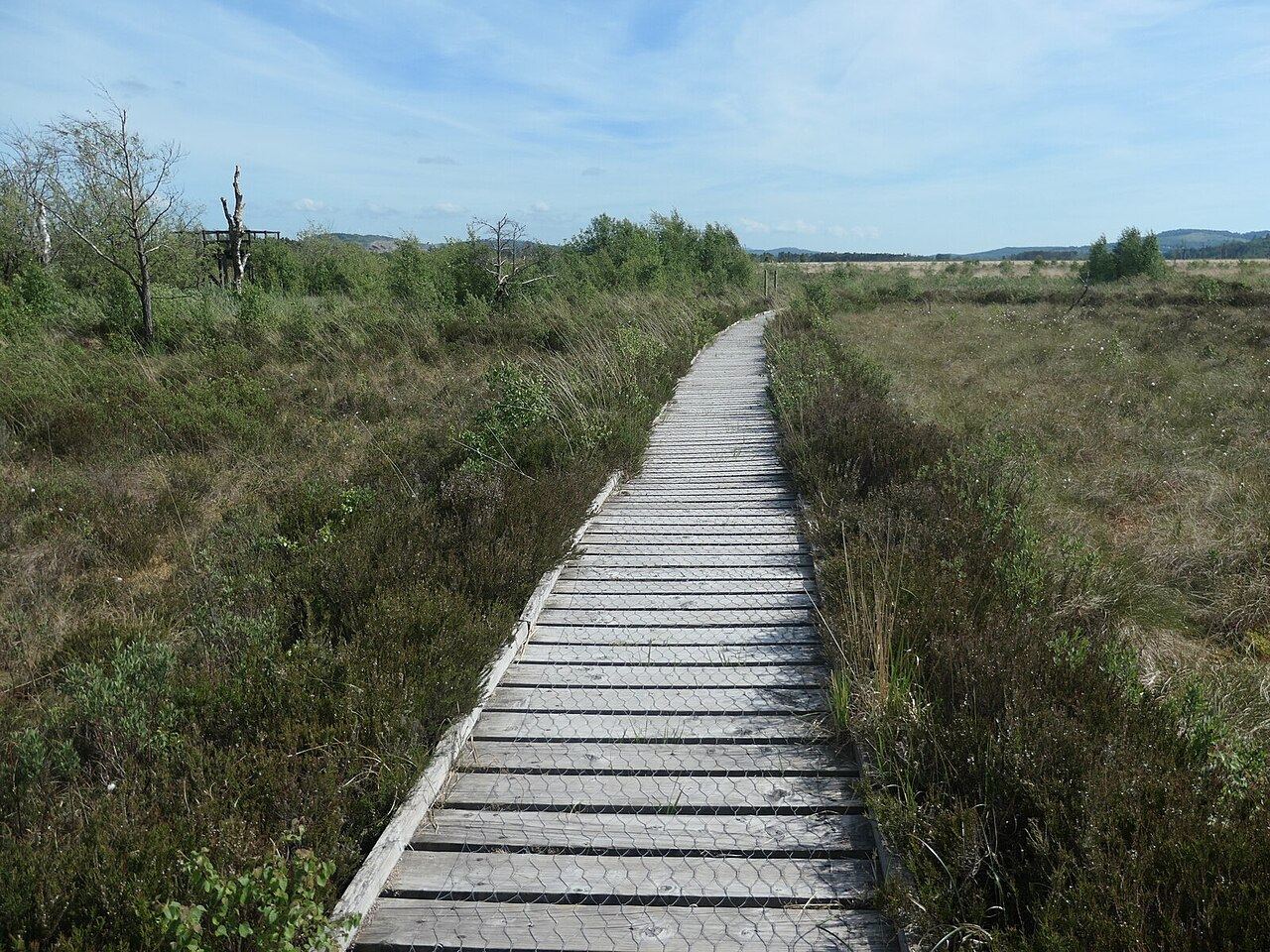
A Cumbria Wildlife Trust peat bog off the A590, free to visit, with boardwalks including a 1 mile route to a viewing platform. Winter is when it earns its keep: marsh and hen harriers, and big numbers of snipe and teal. Stay on the boardwalk, because the ground either side is very soft and there is deep water.
It is a lovely leg-stretch on the way to or from the Furness peninsula, flat enough that nobody needs carrying, and the sort of place where a seven-year-old with binoculars becomes briefly silent. Treasure it.
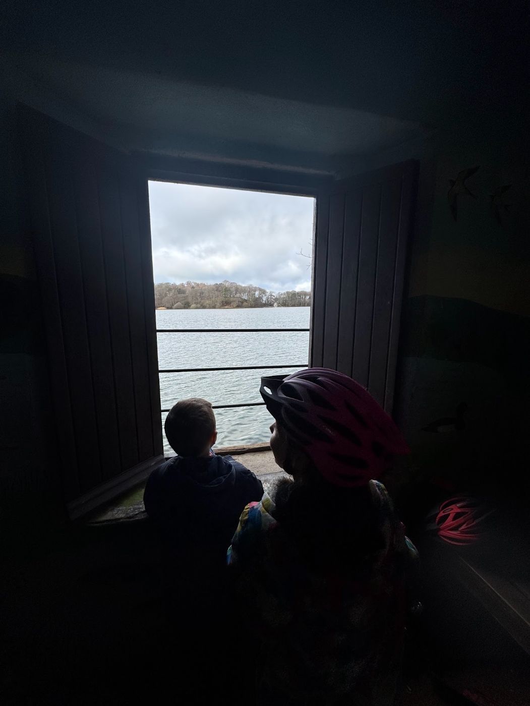
Our nearest winter standby from Carlisle: a tarn in woodland near Brampton with easy footpaths, open all hours, and a tearoom that is open 11am to 3.30pm every day all year. A lap of the tarn is a short, gentle walk, which leaves plenty of energy for cake.
The toilets are open 9am to 5pm. The upstairs tearoom keeps winter weekend hours from the end of October half term to Easter, so the downstairs one is the reliable bet.
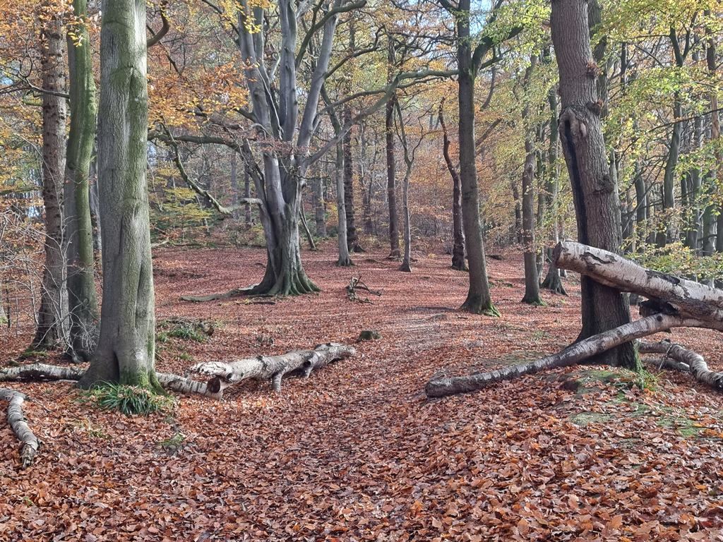
A wooded river gorge just south of Brampton. Eden Rivers Trust's Gelt Woods and Greenwell walk is 5 miles and about three hours, with a stony riverside track, tree roots, boards over the wettest bits and a short flight of steps. The stretch from Low Gelt Bridge to Greenwell suits all-terrain pushchairs.
Be warned, part of the riverside path is closed at two points and the route uses diversions, so read the page before you go. In winter it is sheltered when the tops are wild, which makes it a smart pick for a blowy day.
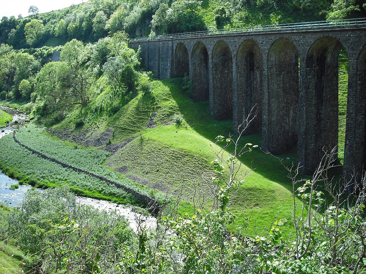
An old railway line through a limestone valley, now a Cumbria Wildlife Trust reserve, open all year. From the Smardale car park it is 3 miles there and back to the 14-arch Smardale Gill viaduct, on a surface the Trust describes as wheelchair and pushchair accessible, with ramps and benches.
A flat railway walk is the winter walker's best friend: no route-finding, no bog, and a big stone viaduct as a finish line. Cattle graze at times, so dogs on leads.
If the early dark is going to happen anyway, you might as well enjoy it. These are from our Almanac and were checked on the organisers' pages.
Head torch for every adult, even on a one-hour walk. A warm layer more than you think, because standing still at a viewpoint is when the cold finds you. Snacks with a high sugar content and a low crumb count. Spare socks in the car, for whoever finds the one deep puddle (there is always one, and it is always the child in trainers).
Turn back if the light is going and you are less than halfway, if the path is iced, or if a storm warning is out. The walks above will all still be there next weekend. Ice on tarmac lanes and slate steps is the thing that catches people in winter, far more than snow, so take it slowly on the shady stretches.
For more ideas, our winter with kids guide has the indoor backups, the rainy day walks guide has the forest options with cafes, and the parking guide has the car park charges for the busy towns.
See what's on in The Cumbrian AlmanacFree, and you choose: the family weekend edition on Friday mornings, the grown-up Sunday edition on Sunday evenings, or both.
No spam, no ads. Unsubscribe from any email with one click. Privacy
Low-level routes on good paths: Orrest Head from Windermere, Latrigg above Keswick, Tarn Hows, Friar's Crag on Derwentwater, White Moss and Rydal Water, and Loughrigg Tarn. Each takes about an hour.
Yes, if you plan around the light. Paths and car parks are quieter, and lakes and tarns look their best on frosty days, but sunset is before 4pm in December.
In Keswick sunset is about 3.55pm at the end of November and 3.49pm on 14 December, the earliest of the year. Start any walk over an hour by early afternoon.
Tarn Hows has a firm gravel path that suits pushchairs, and the Smardale Gill old railway is pushchair accessible. Friar's Crag works via the upper field path while the viewpoint path is repaired.
Fell tops can have snow and ice from December, so check Weatherline, where National Park fell top assessors report daily conditions on Helvellyn from December to spring. Stick to low routes if you lack winter kit and experience.
Yes, the lap is about 4.5 miles including the rock tunnel at Hassness, but parts are rough and wet. The 77 and 77A bus ended for the season on 1 November 2026, so you need to drive.
Yes, the National Trust site is open dawn to dusk, but it closes in severe weather, as it did for a yellow wind warning on 25 October 2026. Check the National Trust page or ring 01768 482067 first.
Facts checked against these pages on Monday 2 November 2026. Opening times and prices change, so confirm with the venue.